Oxford University Transit buses are now GPS enabled for real-time tracking, and riders can get bus schedule information using their computers or smart phones. Riders can now stay on schedule, plan their travel, and never miss a bus again.
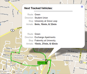
The O.U.T. buses’ real-time transit information is made available by NEXTbus, a transit management solution provider which uses satellite technology and advanced computer modeling to track vehicles on their routes. NEXTBus can estimate vehicle arrivals with a high degree of accuracy. On their site, you can even see mapped bus positions updated constantly.
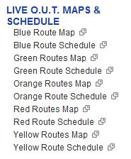
While we have had overlays of the bus routes available on the campus map for a while, we have now added links to this live information also.
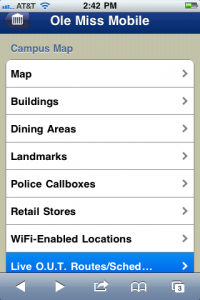
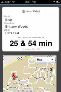
Our mobile campus map has links to the mobile version of the NEXTBus app. This version determines the closest bus stops to your location, and then it displays the arrival times for those buses. For the mobile site, direct your smart phone to m.olemiss.edu and choose Campus Map. The Live O.U.T. link is at the bottom.
Tags: Campus Map


